Department Introduction

GIS facilitates the process by which we can visualize, analyze and understand this data. Remote sensing is one of the methods commonly used for collecting physical data to be integrated into GIS. Remote sensors collect data from objects on the earth without any direct contact.

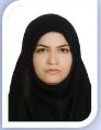
Head of Department

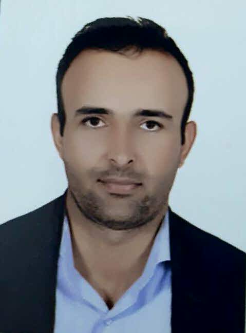
Dr. Elahe Akbari

Head Of Department


Members

 
Academic Rank : Associate Professor
  •  Faculty : Geography and Environmental Sciences
  •  Email : h.adab[at] hsu.ac.ir
  •  Degree of Education : Ph.D.
 
Academic Rank :
  •  Faculty : Geography and Environmental Sciences
  •  Email : m.dastorani[at] hsu.ac.ir
  •  Degree of Education : Ph.D
RAHMAN ZANDI


Publications

Article

Publication of a joint article by Dr. Allah Daghi and Dr. Zirak in the journal Organic Electronics

This is the heading

Click edit button to change this text. Lorem ipsum dolor sit amet consectetur adipiscing elit dolor
Click Here

This is the heading

Click edit button to change this text. Lorem ipsum dolor sit amet consectetur adipiscing elit dolor

This is the heading

Click edit button to change this text. Lorem ipsum dolor sit amet consectetur adipiscing elit dolor
Click Here

This is the heading

Click edit button to change this text. Lorem ipsum dolor sit amet consectetur adipiscing elit dolor

This is the heading

Click edit button to change this text. Lorem ipsum dolor sit amet consectetur adipiscing elit dolor
Click Here

This is the heading

Click edit button to change this text. Lorem ipsum dolor sit amet consectetur adipiscing elit dolor

This is the heading

Click edit button to change this text. Lorem ipsum dolor sit amet consectetur adipiscing elit dolor
Click Here

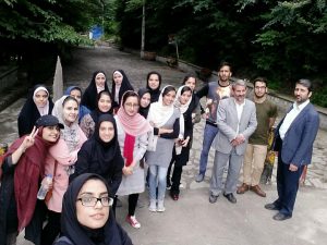
Gallery